- The New England Aquarium and Massachusetts-based engineering firm Draper are developing an algorithm to better monitor whales.
- The duo aims to use satellite imagery as well as sonar and radar data to track the whereabouts of vulnerable whale species.
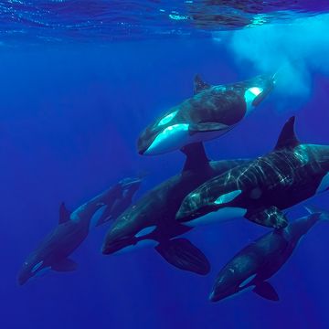
- Whales are a critical part of the ocean food chain and can actually help mitigate the impacts of climate change.
Scientists from the New England Aquarium and the Massachusetts-based engineering firm Draper are teaming up to save the whales. The researchers are weaving together a myriad of data in order to create a probability map of where whales might travel to and why. Knowing where whales go can help scientists better understand the environmental conditions that most impact the various species, reports 90.9 WBUR.
Changing water temperatures, for example, can shift where populations of krill, plankton, and fish—common food sources for whales—may go. Shipping lanes can also impact how whale populations travel: From 2010 to 2014, there were 37 reported ship strikes along the east coast of Canada and the U.S. and in the Gulf of Mexico, according to NOAA Fisheries data. Recent evidence has suggested that the ocean is getting noisier, which can stress whales and alter their behavior. (Luckily, groups like the U.S. Navy are taking note.)
In order to track these whales, the team plans to tap reliable sources of sonar, radar and satellite data to keep a watchful eye on our planet’s largest mammals. Eventually, the team hopes to input this data—collected from European Space Agency satellites to amateur radio operators—into an algorithm that will process that data and then track whales’ movements.
Still, it won’t be an easy task. “When we think about looking at the ocean from space, there are a couple of challenges to detecting whales,” Draper’s chief data scientist, John Irvine, tells WBUR. “One is how far into the water can you see? And the second is that the ocean is big. There are issues of how much can we look at it realistically.”
Currently, scientists use aerial surveys to count and monitor whales, but there are a number of challenges involved with conducting aerial surveys. In some instances, gathering that data can be expensive and dangerous, and often, the counts are canceled due to adverse weather conditions. In most cases, the resolution is poor.
The team has pledged a total of $1 million toward the effort, and aim to have it up and running in the next few years. While the technology could, of course, be used around the world, the partners will begin testing their method in New England waters.
Whales are a critical component of the ocean ecosystem, working hard to ensure that the ocean food chain is balanced. But they’re also vital in the fight against climate change, reports National Geographic.
Whales are considered to be carbon sinks—think of them as swimming trees—and soak carbon up in the fat stored in their bodies. When they die and sink to the bottom of the ocean, all of that carbon, which would otherwise be released into the atmosphere, sinks with them. Their poop, too, plays an important role in battling the ill-effects of our changing climate by stimulating the growth of carbon dioxide-gulping phytoplankton.
A recent International Monetary Fund report noted that each carbon-sequestering whale may be worth millions of dollars—but only if they’re left to go about their business in the world’s oceans. The use of this new whale-watching technology could serve to identify key regions critical to the conservation of vulnerable whale species and their habitat.
Jennifer Leman is a science journalist and senior features editor at Popular Mechanics, Runner's World, and Bicycling. A graduate of the Science Communication Program at UC Santa Cruz, her work has appeared in The Atlantic, Scientific American, Science News and Nature. Her favorite stories illuminate Earth's many wonders and hazards.

